Author
Contributions by role
Author 4
Xingdong Wang
College of Information Science and Engineering, Henan University of Technology, Zhengzhou 450001, China
Summary
Edited Journals
IECE Contributions

Free Access | Research Article | 07 April 2024
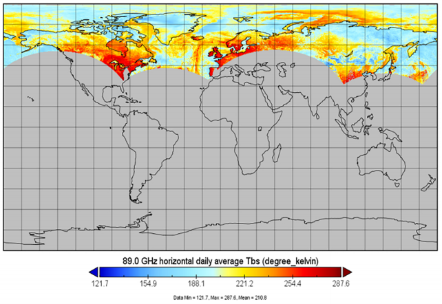
Detection of Arctic Sea Ice Using 89 GHz Microwave Radiometer Channels
IECE Transactions on Internet of Things | Volume 2, Issue 2: 36-43, 2024 | DOI:10.62762/TIOT.2024.528361
Abstract
Sea ice is a crucial component of the cryosphere, and extensive research has been conducted on sea ice using microwave remote sensing due to its robustness against cloud cover and illumination variations. This paper focuses on classifying Arctic sea ice based on microwave remote sensing data. Leveraging the high stability of microwave radiometers, we analyze the characteristics of different sea ice types across the Arctic region in January 2017 using high-resolution AMSR-E/AMSR2 data at the 89 GHz frequency band. Data at this frequency are less susceptible to cloud and water vapor interference, while lower frequency bands have traditionally been more commonly used in similar studies. However... More >

Graphical Abstract
Detection of Arctic Sea Ice Using 89 GHz Microwave Radiometer Channels

Free Access | Research Article | 12 March 2024
Advancements in Multi-Year Ice Concentration Estimation from SSM/I 91.6GHz Observations
IECE Transactions on Internet of Things | Volume 2, Issue 1: 26-35, 2024 | DOI:10.62762/TIOT.2024.682080
Abstract
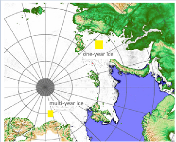
To enhance the LOMAX algorithm for sea ice concentration analysis in the polar regions, SSM/I 91.6GHz data was utilized, addressing the underuse of higher frequency data. The refinement process involved redefining PCT values for one-year and multi-year ice regions through both interpolation and least squares methods. Moreover, band operations were conducted to facilitate Arctic multi-year ice concentration retrieval. Comparative analyses with the NT algorithm indicated that the Arctic sea ice extents determined by both algorithms were similar, affirming the credibility of the modified LOMAX algorithm. When examining the results for March and September, the updated LOMAX algorithm demonstrate... More >

Graphical Abstract
Advancements in Multi-Year Ice Concentration Estimation from SSM/I 91.6GHz Observations

Research Article | 19 November 2023
Design and Implementation of 3D Library Application System-Taking The Library of Henan University of Technology as an Example
IECE Transactions on Internet of Things | Volume 1, Issue 1: 22-29, 2023 | DOI:10.62762/TIOT.2023.768915
Abstract
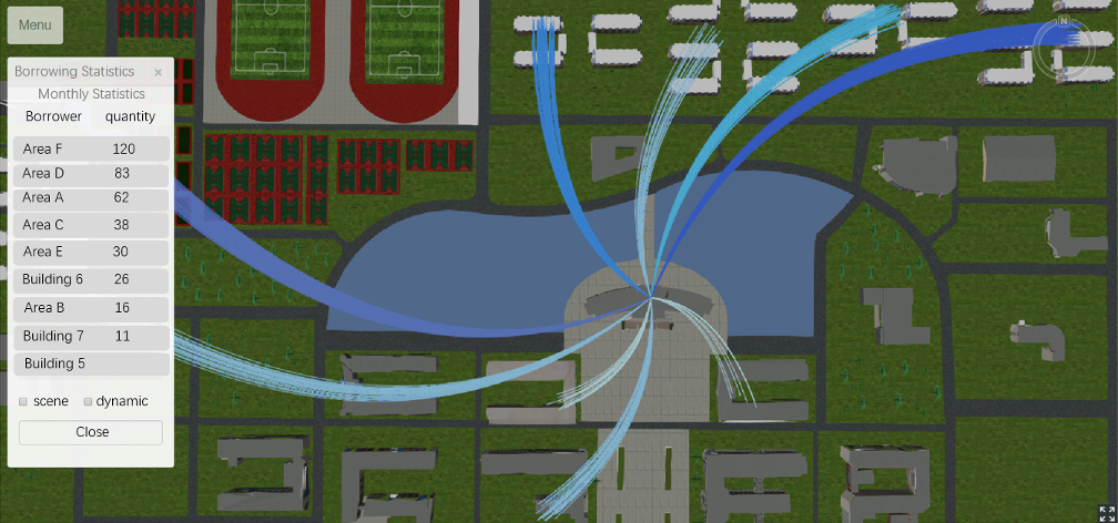
As more and more traditional application systems begin to integrate 3D technology, building a 3D library application system with the advantages of 3D technology is conducive to improving the user's borrowing experience, improving the efficiency of users' querying books and reserving seats, and combining monitoring equipment can effectively improve the accuracy of seat occupancy monitoring, and through the statistics and analysis of reservation data, borrowing data and other data, it can provide decision support for library managers, thereby improving the quality of library services. This paper takes the library of Henan University of Technology as an example, based on the SuperMap iClient3D... More >

Graphical Abstract
Design and Implementation of 3D Library Application System-Taking The Library of Henan University of Technology as an Example

Research Article | 17 October 2023 | Cited: 2
Forest Fire Assessment and Analysis in Liangshan, Sichuan Province Based on Remote Sensing
IECE Transactions on Internet of Things | Volume 1, Issue 1: 15-21, 2023 | DOI:10.62762/TIOT.2023.862892
Abstract
Because of the special geographical location, dry weather, high temperature and dense vegetation in Liangshan, Sichuan, it is easy to cause forest fires, so it is of great significance to use remote sensing data to evaluate forest fires in Liangshan, Sichuan. In this paper, the forest fire in Muli County, Liangshan, Sichuan Province on March 28th, 2020 was evaluated by using Landsat-8 remote sensing data which can be obtained free of charge. The NDVI of the pre-processed remote sensing images before and after the fire was calculated respectively. After the difference was made, the threshold of the classification of fire and non-fire areas was determined according to the maximum inter-class d... More >

Graphical Abstract
Forest Fire Assessment and Analysis in Liangshan, Sichuan Province Based on Remote Sensing