-
CiteScore
-
Impact Factor
IECE Transactions on Intelligent Unmanned Systems, 2024, Volume 1, Issue 2: 63-72

Free Access | Research Article | 11 December 2024
1 College of Information Science and Engineering, Henan University of Technology, Zhengzhou 45001, China
* Corresponding author: Quan Qi, email: [email protected]
Received: 28 October 2024, Accepted: 27 November 2024, Published: 11 December 2024  

Abstract
Calculating surface area is quite common in daily life; however, due to the irregular shapes of objects, traditional feature point data collection methods are not suitable for complex surfaces. Therefore, this study employs 3D laser scanning technology, using the Ligrip H120 handheld rotating laser scanner for data collection of the artificial stone. Based on four algorithms, we performed 3D reconstruction of the obtained point cloud data. Subsequently, we developed a program for surface area calculation using the Python interface of CloudCompare software and the Open3D library. The results indicate that the surface area measured with this technology has an accuracy improvement of 1.03 percentage points compared to the traditional sticker method, while the time required was reduced by three-quarters. This technology demonstrates high precision, strong reliability, and high efficiency in calculating the surface area of irregularly shaped objects.

Graphical Abstract
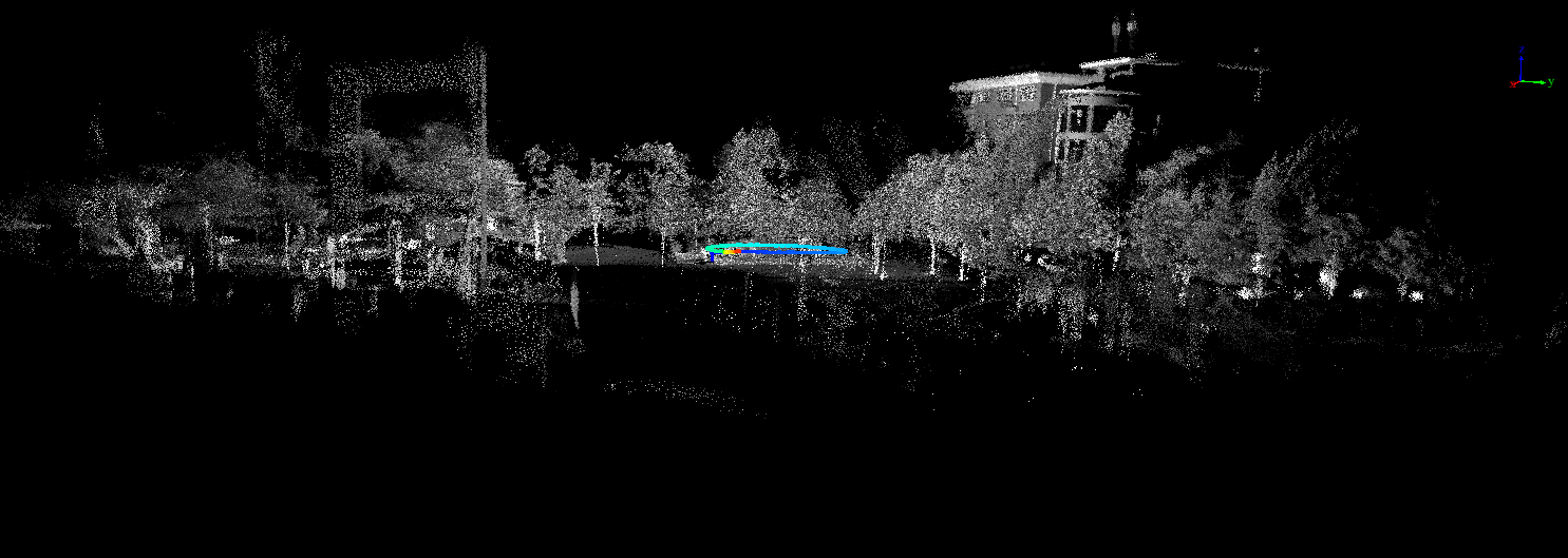
Surface Area Measurement of Irregular Objects Based on 3D Laser Scanning Technology

Keywords
3D laser scanning
irregular objects
surface area
Ligrip H120
3D reconstruction algorithms

References

[1] El-Hakim, S. F., Brenner, C., & Roth, G. (1998). A multi-sensor approach to creating accurate virtual environments. ISPRS journal of photogrammetry and remote sensing, 53(6), 379–391.

[2] Lemmens, M. (2023). Airborne and Ground-based Laser Scanning. In The Routledge Handbook of Geospatial Technologies and Society (pp. 171-187). Taylor and Francis.

[3] Yu, Y., Ferencz, A., & Malik, J. (2001). Extracting objects from range and radiance images. IEEE Transactions on Visualization and Computer Graphics, 7(4), 351–364.

[4] Allen, P. K., Stamos, I., Troccoli, A., Smith, B., Leordeanu, M., & Hsu, Y. C. (2003, September). 3D modeling of historic sites using range and image data. In 2003 IEEE International Conference on Robotics and Automation (Cat. No. 03CH37422) (Vol. 1, pp. 145-150). IEEE.

[5] Abergel, V., Manuel, A., Pamart, A., Cao, I., & De Luca, L. (2023). Aïoli: A reality-based 3D annotation cloud platform for the collaborative documentation of cultural heritage artefacts. Digital Applications in Archaeology and Cultural Heritage, 30, e00285.

[6] Lifeng, Z. H. A. O., Chao, T. A. N. G., & Haiqian, H. O. U. (2020). Intelligent diagnosis technology and service status evaluation of rail transit tunnel. Bulletin of Surveying and Mapping, (9), 1.

[7] Zhao, D., Liu, C., Zhang, X., Zhai, X., Deng, Y., Chen, H., ... & Luo, P. (2023). 3D digital modeling as a sustainable conservation and revitalization path for the cultural heritage of han dynasty stone reliefs. Sustainability, 15(16), 12487.

[8] Ellmann, A., Kütimets, K., Varbla, S., Väli, E., & Kanter, S. (2022). Advancements in underground mine surveys by using SLAM-enabled handheld laser scanners. Survey Review, 54(385), 363-374.

[9] Parfenov, V., Igoshin, S., Masaylo, D., Orlov, A., & Kuliashou, D. (2022). Use of 3D laser scanning and additive technologies for reconstruction of damaged and destroyed cultural heritage objects. Quantum Beam Science, 6(1), 11.

[10] Dawei, Z., Lizhuang, Q., Demin, Z., Baohui, Z., & Lianglin, G. (2020). Unmanned aerial vehicle (UAV) photogrammetry technology for dynamic mining subsidence monitoring and parameter inversion: A case study in China. IEEE Access, 8, 16372-16386.

[11] Edelsbrunner, H., Kirkpatrick, D., & Seidel, R. (1983). On the shape of a set of points in the plane. IEEE Transactions on information theory, 29(4), 551-559.

[12] Li, L., & Yan, H. (2021, June). Building contour regularization method based on ground LIDAR point cloud data. In 2021 IEEE 4th Advanced Information Management, Communicates, Electronic and Automation Control Conference (IMCEC) (Vol. 4, pp. 1937-1941). IEEE.

[13] Jang, E., & Kang, W. (2023). Estimating Riparian Vegetation Volume in the River by 3D Point Cloud from UAV Imagery and Alpha Shape. Applied Sciences, 14(1), 20.

[14] Kazhdan, M., & Hoppe, H. (2023, September). Distributed poisson surface reconstruction. In Computer Graphics Forum (Vol. 42, No. 6, p. e14925).


Cite This Article
APA Style
Qi, Q., Wang, Y., Wang, X., & Shi, L. (2024). Surface Area Measurement of Irregular Objects Based on 3D Laser Scanning Technology. IECE Transactions on Intelligent Unmanned Systems, 1(2), 63–72. https://doi.org/10.62762/TIUS.2024.725258

Article Metrics
Citations:

Crossref

0

Scopus

0

Web of Science

0
Article Access Statistics:
Views: 44
PDF Downloads: 1

Publisher's Note
IECE stays neutral with regard to jurisdictional claims in published maps and institutional affiliations.

Rights and permissions
IECE or its licensor (e.g. a society or other partner) holds exclusive rights to this article under a publishing agreement with the author(s) or other rightsholder(s); author self-archiving of the accepted manuscript version of this article is solely governed by the terms of such publishing agreement and applicable law.
IECE Transactions on Intelligent Unmanned Systems

IECE Transactions on Intelligent Unmanned Systems

ISSN: 2998-9140 (Online)

Email: [email protected]

Portico

Portico

All published articles are preserved here permanently:
https://www.portico.org/publishers/iece/

Copyright © 2024 Institute of Emerging and Computer Engineers Inc.